


Local News
Some snow expected at lower elevations overnight
 A snowplow clears an overpass of freshly-fallen snow over Interstate 90 at Snoqualmie Pass Tuesday. A weather pattern that could be associated with El Nino has turned winter upside-down across the U.S. during a week of heavy holiday travel. (AP)


Conditions on mountain passes are hazardous enough that state officials are asking people to change their holiday travel plans.
The Washington State Department of Transportation is recommending people wait until Thursday to drive over the Cascades, a spokesperson told The Seattle Times. If people have to drive, before Christmas Eve, they should be prepared for delays.
Weather conditions that have intermittently closed the passes.
Dustin Guy with the National Weather service says another foot of snow fell on the Cascades Tuesday night.
“The passes will probably be inundated with additional snowfall,” he said.
Related: Chance of snowflakes in lowlands on Christmas Day
One to 2 feet of additional snow is expected in the Cascades, including at Stevens Pass and Snoqualmie Pass.
Christmas Eve will see snow showers in the mountains.
A winter storm warning for the Cascades is in effect until midnight.
Lower elevations and snow
Meanwhile, areas around Issaquah, Gold Bar, Eatonville, and North Bend are expected to get 1-3 inches of snow by Thursday morning, Dec. 24, according to the National Weather Service. The service notes that driving hazards are likely because of the snow. The heaviest snowfall in those areas is estimated to be around 9 p.m. Dec. 23, and 6 a.m. Dec. 24.
More
- Is online dating really as dangerous as some fear?
- Tech workers' expensive housing tastes translate to hefty tax dollars
- Dates announced for 2-week viaduct closure in Seattle; Bertha ready to dig
- Missing Arlington couple's vehicles found in Oso woods
- No tsunami threat for Washington state after powerful Japan quake
About the Author
The team that brings you MyNorthwest.com
Top Stories
-
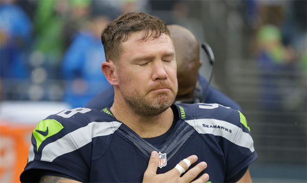 Former Seahawk pens open letter to Colin Kaepernick
-
Former Seahawk pens open letter to Colin Kaepernick
-
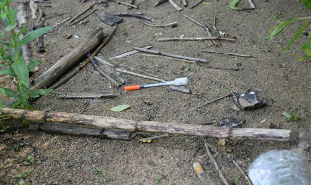 Heroin epidemic gets a shout-out during Trump rally in Everett
-
Heroin epidemic gets a shout-out during Trump rally in Everett
-
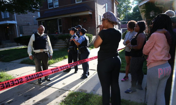 Incredibly violent inner cities are nothing compared to Syria
-
Incredibly violent inner cities are nothing compared to Syria
Comments